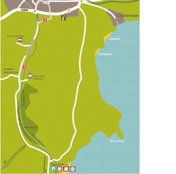
Pentewan Valley trail
Directions and points of interest
The trail follows the old Pentewan railway between St Austell and Pentewan.
Start at Pentewan valley cycle hire just off the B3373, go through the cycle hire area, take a slight left and then bear right crossing a small bridge. Carry along the trail through a wooded area passing a caravan and camping site to your left.
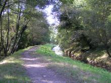
Bear right and follow the trail along the riverbank. Continue to follow the trail through King’s Wood and follow signs as the trail traverses left, back onto the riverbank.
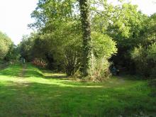
After a further wooded section the trail bears right away from the river and onto a lane. Follow the lane for a short distance and then turn off left where you will pass a car park and then River Valley Holiday Park. A track goes left to the village of London Apprentice but you need to continue to follow the trail as it bears right through fields and round the back of water treatment works.
Once you’ve passed the treatment works turn left to meet the B3273 where you turn right to join the pavement (which also serves as the cycle path) heading towards St Austell. This is where the off road part of the trail finishes however you can pick up National Cycle Network route 3 which continues along Sawles road and through St Austell and towards Eden Project.
Extending the route
From St Austell you can carry on to Wheal Martyn by taking the Green Corridor trail which also links up with the Wheal Martyn to Eden trail
Facilities and attractions
Facilities:
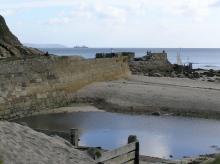
Pentewan beach
Sandy shingle beach with good access from carparkThe Ship Inn
Serving food and drink throughout the day. Beer garden has sea views.
Suitable for:
- Walking
- Cycling
- Horse riding
Distance:
3.4 miles (5.5km)
Terrain:
Cycling grade:
Highlights:
- Travel from the beach to St Austell town
- Secluded woodland paths
- Trail follows the old railway that links Pentewan and St Austell